Moffat to West Linton: 57km
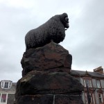
On the way in to Moffat yesterday, we both noticed a signpost indicating 53 miles to Edinburgh, along a ” scenic route”. This immediately signalled a change of plans, as this would mean 60km less and two shorter days! (We had been planning to follow the NCR north and east to Edinburgh, via Airdrie.) We chatted with the owner of the local bike shop, who confirmed our decision. So, this morning, we headed past the Moffat Ram, which celebrated the importance of the town in the wool trade, and took the A701 to the NE.
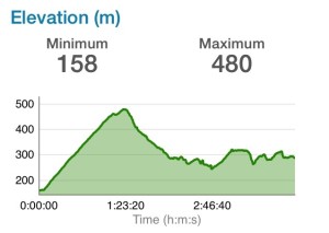
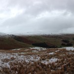
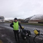
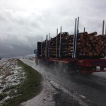
It was a VERY COLD ride, so we were doubly grateful to have shortened the distance, but definitely scenic, as the route took us through the Borders region of Scotland. As we made the long steady ascent to the top of the Moffat Hills, approximately 10 kms, rain turned to wet snow, then to fluffy snowflakes. Fortunately, the traffic wasn’t too heavy and the large logging trucks gave us a wide berth. The sun came out briefly at the top, as we overlooked the Devil’s Beef Tub, but it turned to rain again as we descended. Riding now through the Lowther Hills, we stopped to view the marker of the source of the River Tweed, which forms part of the historic boundary between Scotland and England.
By the time we got to Broughton we were freezing cold and very relieved to find the Laurel Bank Tea Shop, recommended by our B&B in Moffat. We must have looked desperate, as the server placed us next to one of the radiators! We gradually warmed up over an extended lunch of smoked haddock chowder/smoked haddock and bean gratin and cake and good coffee. Reluctantly back out in the cold, we then had a short ride, mostly dry, along the A710 and a side road to West Linton. The precipation had turned to hail by the time we arrived at our B&B. We had time to visit the tea shop, in an old toll house, and look through a second hand book shop before repairing to the Gordon Arms for beer and food by a roaring fire.


