Category Archives: YVR2SAN

August 10 – 15, 2014. Santa Barbara

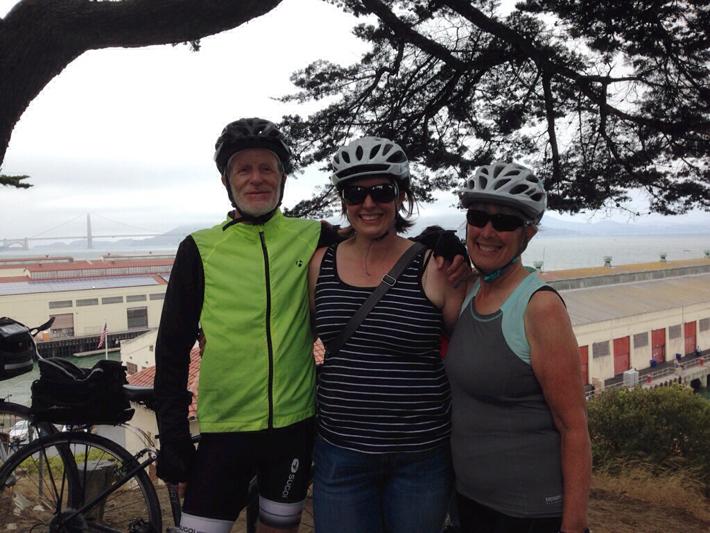
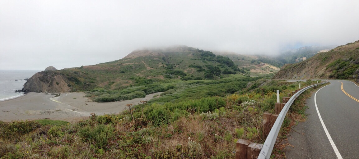
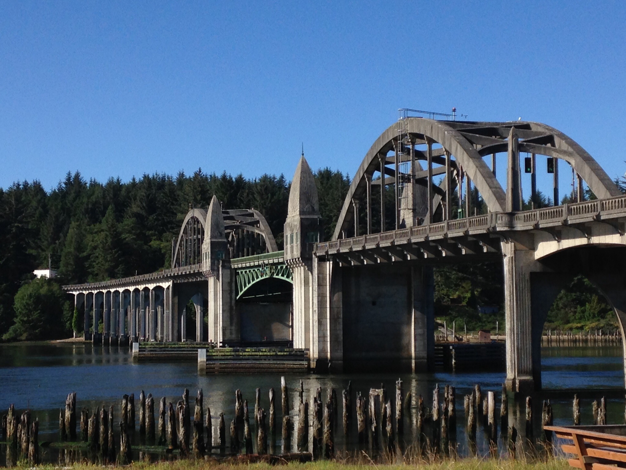
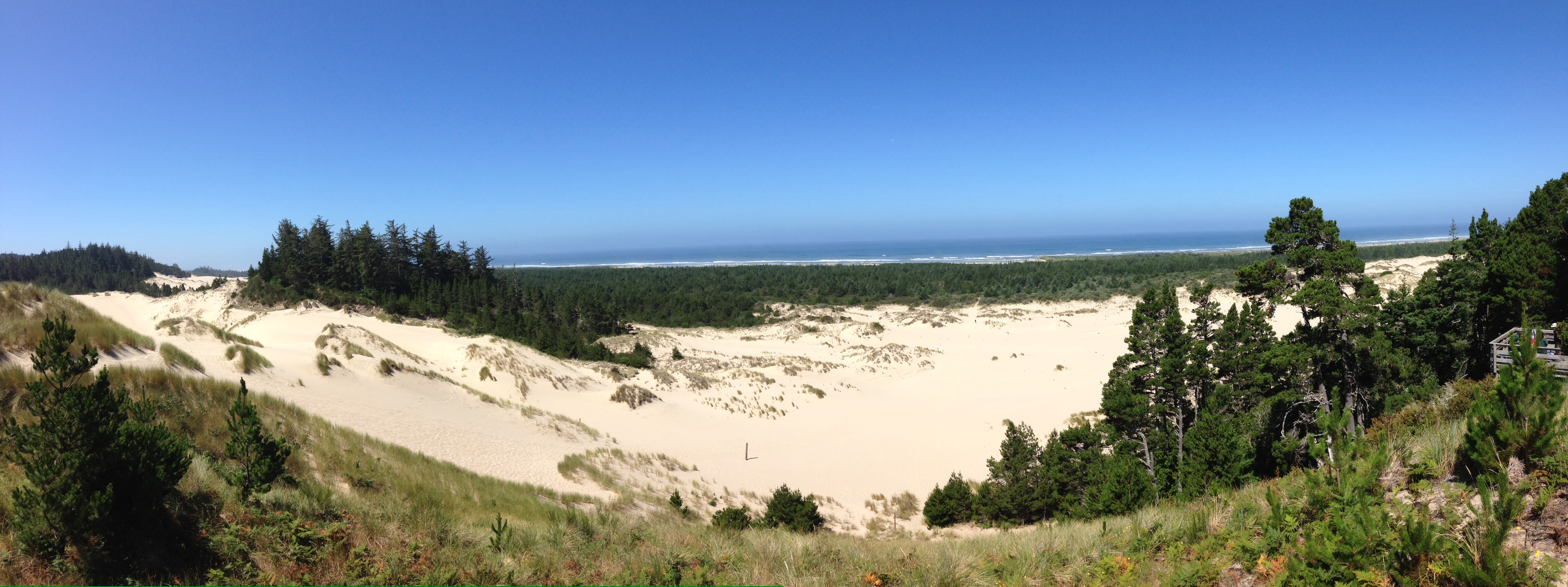
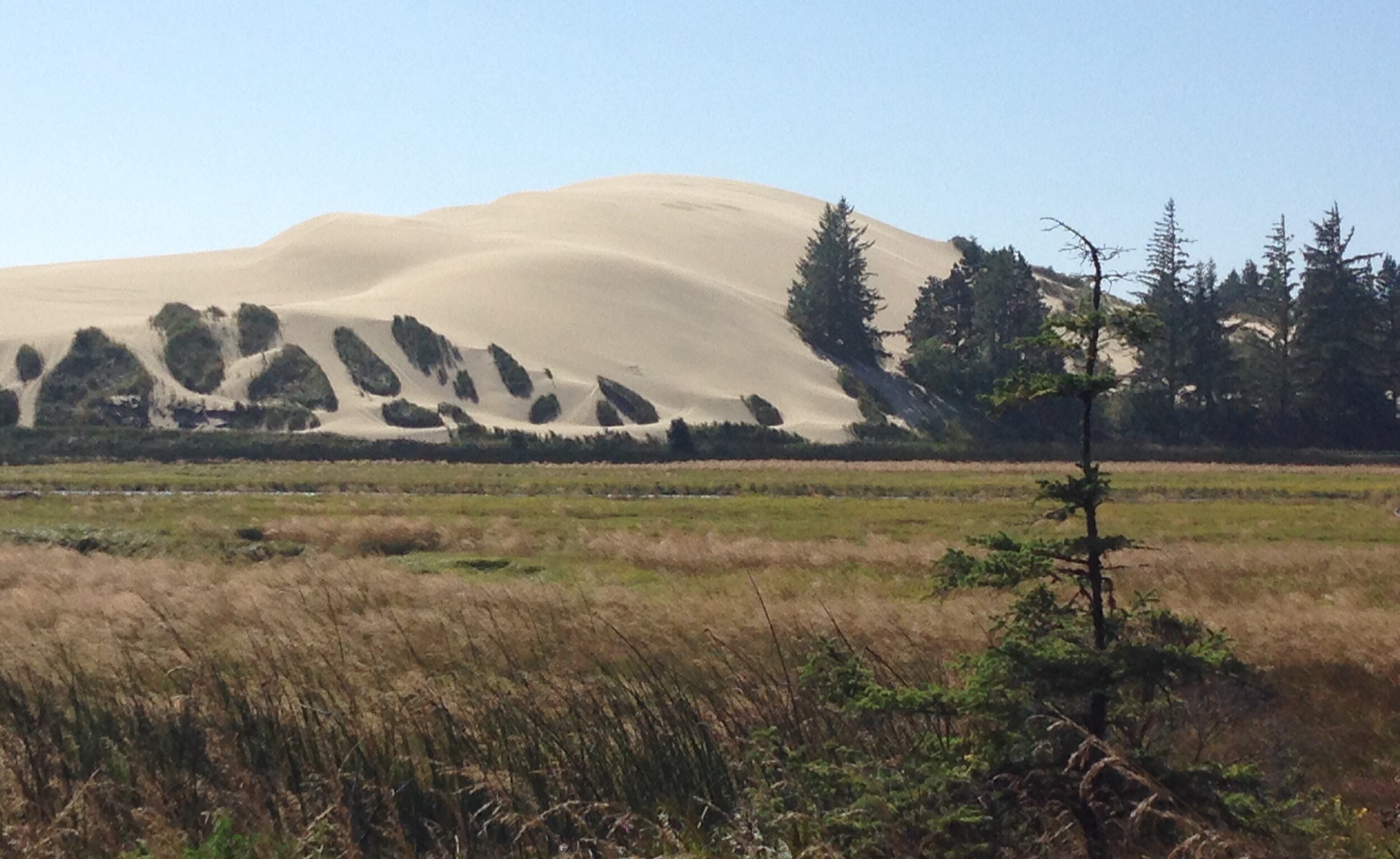
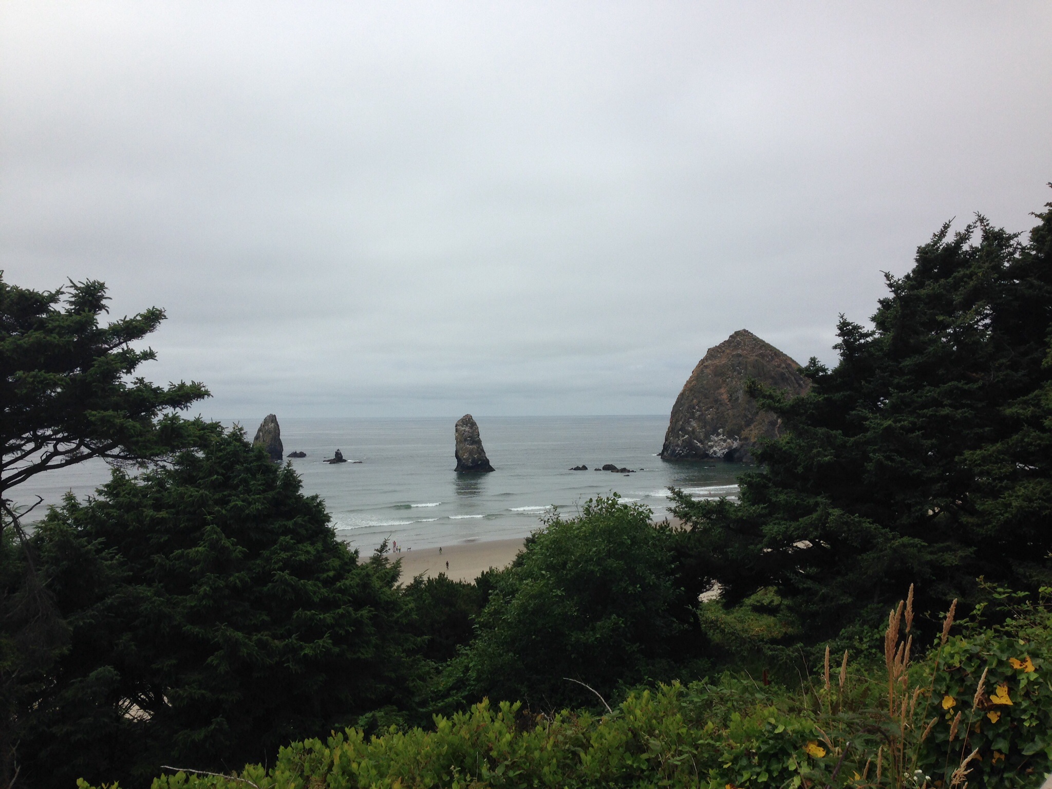
After two days of discussing options, we decided to end our trip south, in Santa Barbara. Descriptions of the physical and mental stress of getting through the urban area around Los Angeles in the height of summer, together with the challenges of finding accommodation for anything less than exorbitant prices, made the decision to finish there easier.  We are also reluctant to spoil the wonderful experience we have had over the 2000 kms to Monterey. We may return to cycle the remaining part of the route to San Diego in a future off-season. This does mean that we miss the search for Treasure Hunt #4, however, – sorry, Marius!

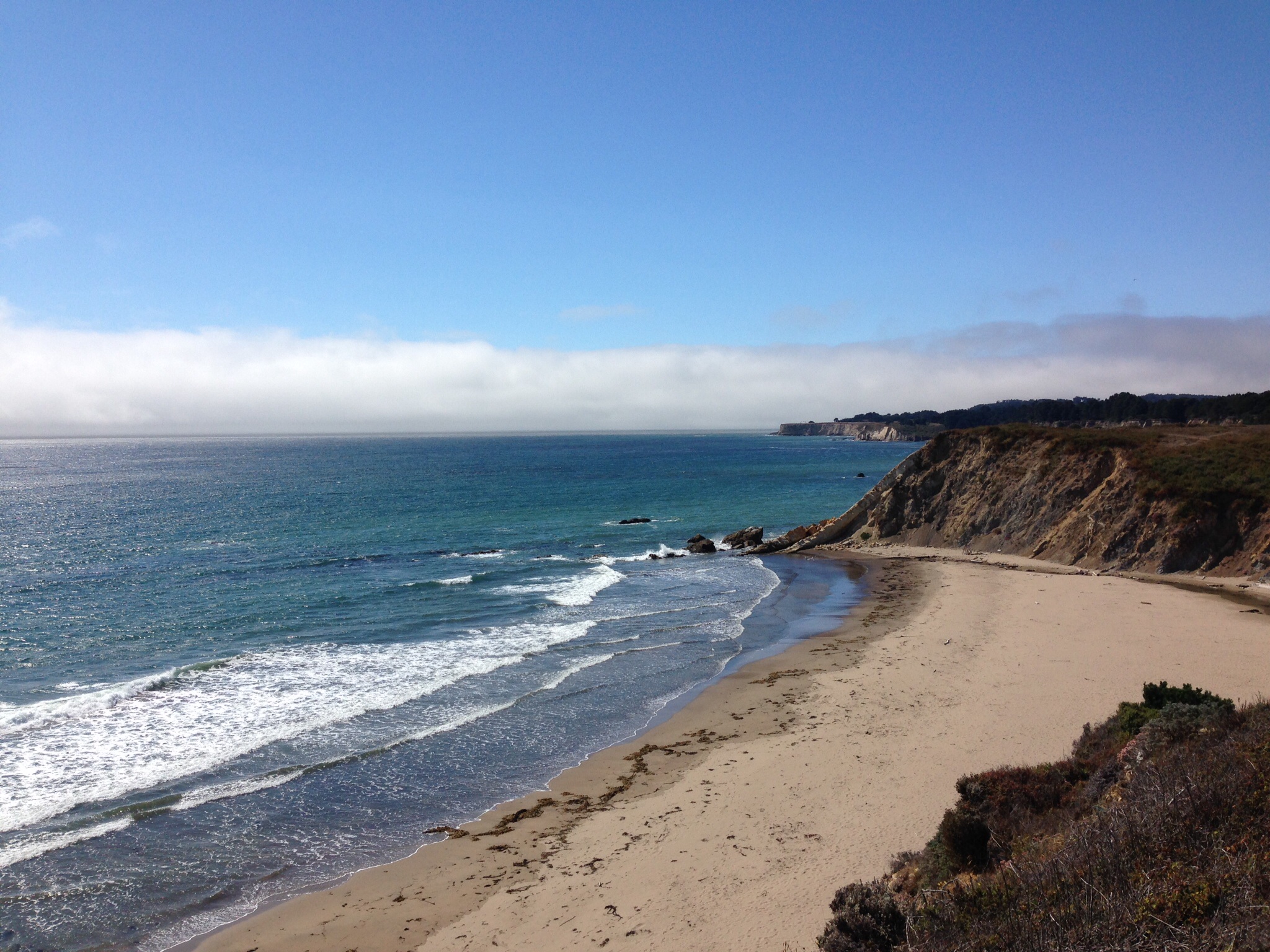
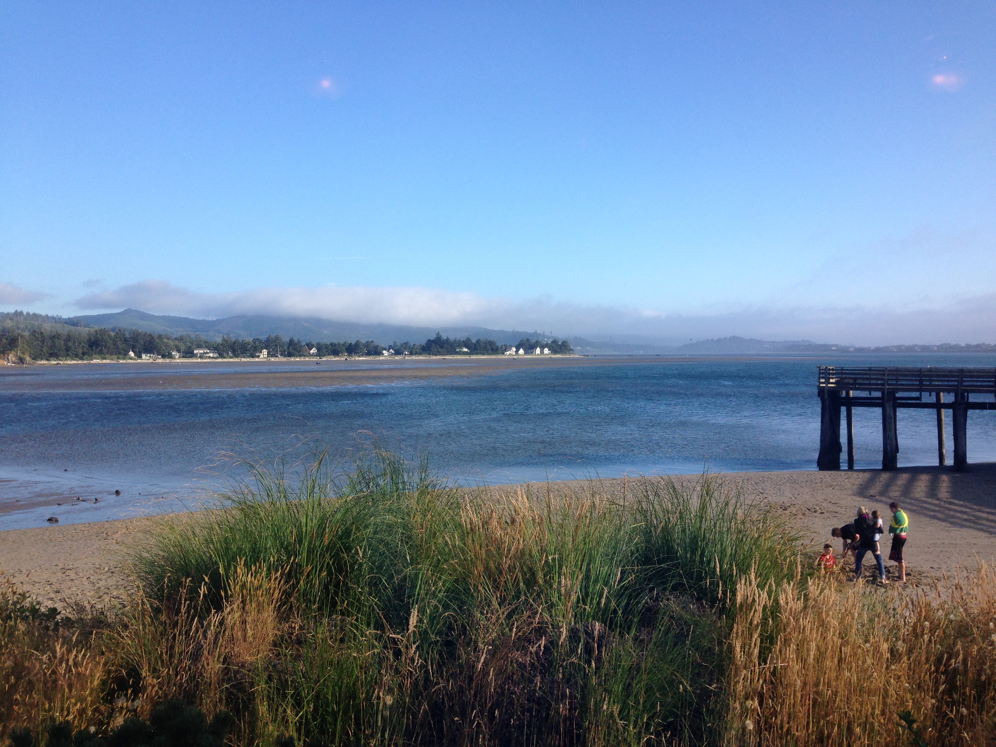
Santa Barbara proved to be an agreeable place to spend a few days being tourists. Fringed by long, sandy beaches, and with the Santa Ynez Mountains and Los Padres National Forest as backdrop, the attractive city had much to offer in the way of culture, seafood, shopping and, of course, beach time.

An earthquake in 1924, which demolished much of the downtown, enabled the City to enforce a planning ordinance passed only months before. This required that all development in the downtown core was to be in a Spanish Revival style. The centre is now an attractive mix of low adobe-style buildings, streets with no parking, passeos and arcades. The city has an inordinate number of unique shops and restaurants which speaks to the affluence of some of the resident and visiting population. We had a fascinating Sunday morning  tour, conducted by a volunteer representative of the Architecture Foundation of Santa Barbara.

The Law Courts are a good, but perhaps slightly “over the top” example of the revival architecture. There are also four movie theatres dating from that time. The Fox is the most elaborate, structured as a Spanish village, and includes a driveway between the walkway beyond  the ticket booth, and the entrance. This enabled the stars of a film to make an appearance in front of fans before the show. Hollywood is not far and apparently many movie actors own residences in nearby Montecito.

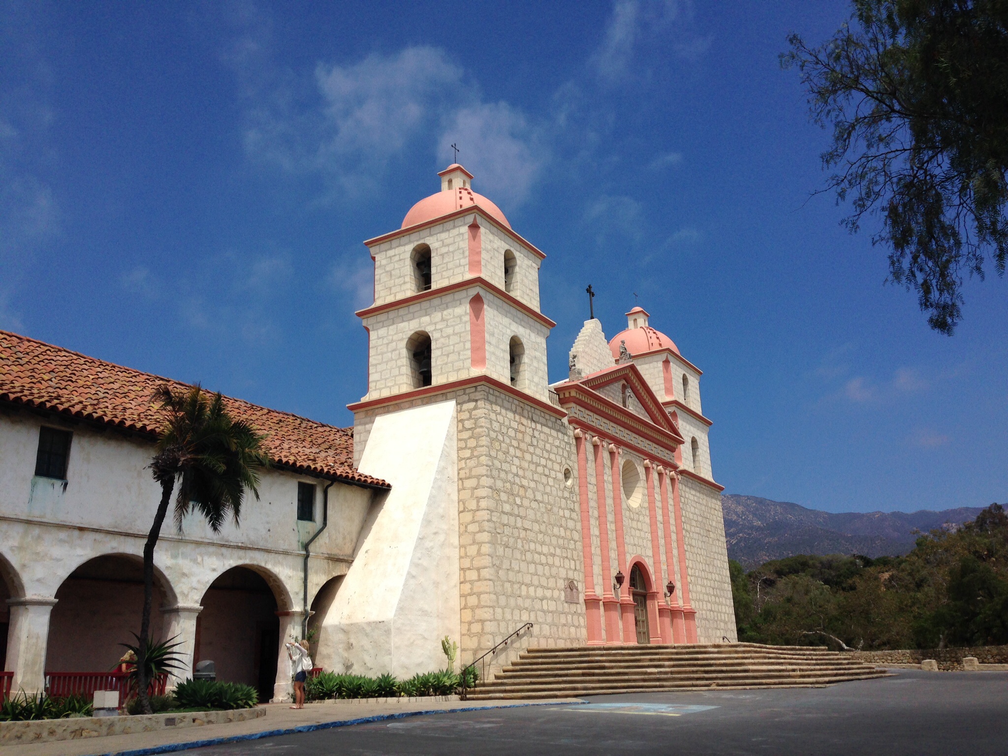
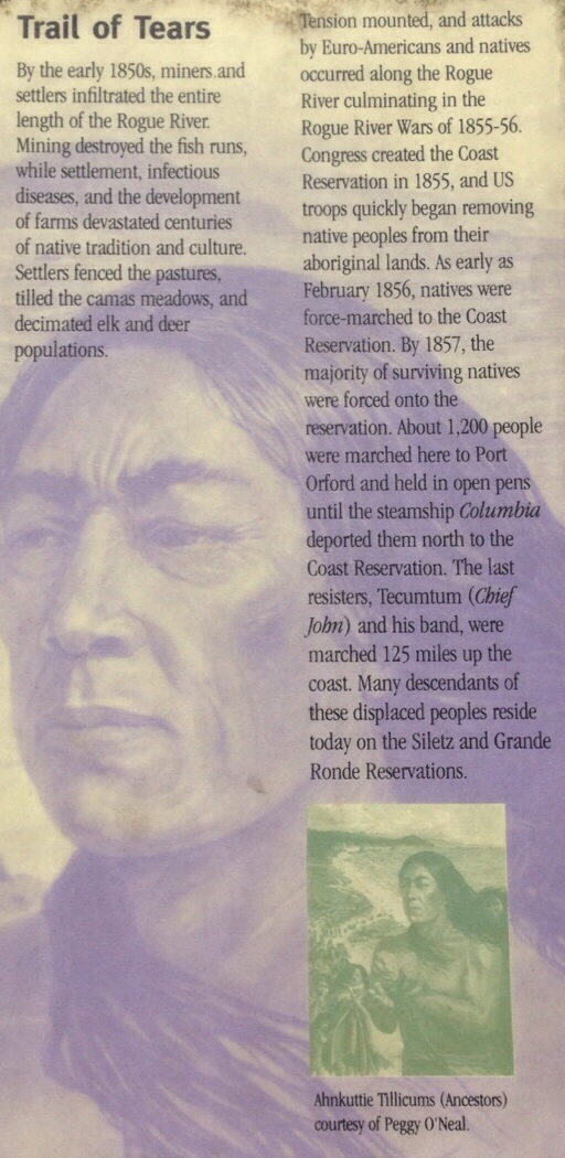
We also cycled some well mapped-out routes in and around the town. The second trip took us to the Santa Barbara Mission, founded by the Franciscans in 1786 to convert the indigenous Chumash  people. It was one of the few missions that was not secularized when Mexico inherited Spain’s colonies following the Mexican War of Independence.  The domination of the Chumash and loss of culture and way of life is documented without comment in the Mission museum.


Law Courts
Law Courts
Santa Barbara Mission
Santa Barbara sunset

Saturday August 9, 2014. Transfer Day (and Treasure hunt #3)

This evening, we find ourselves in Southern California. It took 6 hours driving to get to where it would have taken 6 days by bike. It is disorienting. Travelling by bicycle allows for a more direct, but gradual, experience of changes in landscape, architecture and weather. We were quite relieved to return the car. That obviously says something about our conversion to cycle tourists!

En route, on a chilly and windy Carmel Beach, we were pleased to find Marius’ treasure #3. We did have to explain our strange activity to the men sweeping the steps above!

While we had changed plans because of accomodation challenges, the heavy holiday traffic on the winding, narrow, steeply rolling and shoulderless road around Big Sur made us rather glad not to be cycling!

We are on the traditional territory of the Chumash People. This group, like many others have been able to survive economically and culturally through resources from casinos.

Big Sur
Big Sur


Pismo Beach
Pismo Beach

Friday August 8, 2014. Planning Day!

Our plans changed today. For the past few weeks, we have  been trying, without success, to book accommodation south of Monterey.  From here to San Luis Obispal, there are few hotels/ motels or B&Bs and what do exist, are booked up months in advance. We decided to temporarily retreat to the four-wheeled means of transport and drive 500km to Santa Barbara.

After planning over coffee, we leisurely explored Fisherman’s Wharf, Cannery Row, and the fascinating exhibition (mostly Jules Tavernier) at the Monterey Art Gallery. Watching the sun set while sampling Sand Dabs (small local flounder) on the municipal wharf rounded out the day.

Wildlife note: Heermann’s Gull

San Carlos Beach.
San Carlos Beach.
Monterey Museum of Art.

Thursday August 7, 2014. Day 29

image

Santa Cruz to Monterey (87km)

Today was grey. The hoards of volley ball players by the Boardwalk in Santa Cruz must have been hoping for sunshine, while the surfers in the calm off the beach at Capitola were waiting for waves. For our part, the overcast skies contributed to a rather gloomy ride, despite a fairly flat terrain. Much of the route was either on or beside the noisy Hwy 1.

At Manresa State Beach, we stopped to follow Marius’ clues for treasure hunt #2. Unfortunately, another Paul and Lois must have got there before us. Despite repeated explorations, no gift was found (sorry, Marius!). It was a lovely spot, though, and someone came up to us and offered to take our picture.

We later lost the route amongst the “industrial” fields of strawberries, artichokes, broccoli and fennel, finding ourselves in downtown Watsonville.

A bright spot was climbing the dunes at Moss Landing and seeing humpback whales

We remain on the traditional territory of the Costanoan Rumsen Ohlone People.

Santa Cruz Boardwalk
Manresa Beach
Manresa Beach
Strawberry fields near Watsonville.

Wednesday August 6, 2014. Day 28

Half Moon Bay to Santa Cruz (82km)

Half Moon Bay is one of those wonderful towns which is easy to miss, hiding behind the highway strip. We discovered the charming and lively Main Street last night on our way to Pasta Moon, when we also scouted out espresso and bakeries (Peets and Half Moon Bay Bakery).

It was a pleasant ride alongside open grasslands, fields of Brussels sprouts, artichokes and pumpkins,  and sandy beaches. From the top of the longest hill, we watched unidentified whales (possibly humpback) feeding near shore.

Ano Nuevo Bay
Ano Nuevo Bay
Point Pigeon
Point Pigeon
Near Tunitas Creek
Near Tunitas Creek

We remain on the traditional territory of the Costanoan Rumsen Ohlone People.

Tuesday August 5, 2014. Day 27

San Francisco to Half Moon Bay (56km)

Blue Bottle espresso was worth yet another lineup this morning and is on a par with Moja coffee from Terra Breads.

Leaving SF was easier than expected, with the help of our trusty Garmin. Fortunately, it did not involve any steep hills (those came later in the day). We cycled for a long time through Golden Gate Park, which  led us back to the foggy Pacific Ocean.

Approaching Devil’s Slide after Pacifica on Highway 1, we were just about to go through a new tunnel, when a cyclist came along behind and advised us to follow the old road, which has been rejuvinated as a non-motorized two lane bicyle route and a seperate pedestrian path. If only this could be done elsewhere…

Before we checked into our motel, we went on Treasure Hunt #1! Our creative nephew, Marius, who was in SF for work a few weeks ago, hid 4 gifts for us along the route. Following his typically thorough instructions, we soon located treasure #1 in a hollow log on Francis beach! (See photo below) (We are keeping a video log)

We are on the traditional territory of the Costanoan Rumsen Ohlone People They were enslaved by the Spaniards and then fled south to avoid state supported persecution by settlers. Their tribal offices are in Pomono near Los Angeles.


Ocean Beach
Ocean Beach
Devil's Slide
Devil’s Slide
Marius' treasure hunt
Marius’ treasure hunt

Sunday and Monday August 3&4, 2014. Days Off

We had a wonderful couple of days off in SF, catching up with Mish, walking, eating (thank you to Jayne for the long and excellent list of recommendations), shopping, sight-seeing. We also took our bikes in to replace the chains and to have a new derailleur cable installed on Paul’s bike. The weekend passed way too quickly and it was time for Maritia to leave again. Lois is still wondering whether she was dreaming…

Bicycle rickshaw ride
Jade's rendition of us cycling
Jade’s rendition of us cycling
National AIDS Memorial Grove

Saturday August 2, 2014. Day 26

Olema to San Francisco (63km) (and Lois’ birthday surprise)

We began to see road cyclists soon after we left Olema. Many were participating in the Marin Century ride; 2500 cyclists going from 50 to 200 miles. By the time we got to Fairfax and the edge of the Bay conurbation, riders seemed to be outnumbering cars, which gave us an unusual sense of comfort. As we approached Sausalito, a different category of cyclist appeared – literally hundreds of  rental bikes doing the circuit from San Francisco across the Golden Gate Bridge and back on the ferry.

We were both excited to cycle on the Golden Gate Bridge, a much less stressful experience than other bridge crossings due to the presence of a dedicated bike path. The multitudes of cyclists crossing in both directions, together with the howling wind, added to the excitement. Two days earlier, we had met a couple from San Francisco, Michael and Diane, who were doing a short circuit, and we were surprised to meet them again on the bridge!

But, the biggest surprise was still to come! Just as we were descending on a bike path to the bay, who should ride up behind us but Maritia!! Paul knew that she was going to surprise Lois here, but we had no idea that she would be renting a bike and looking for us! Once Lois convinced herself she was not, in fact, dreaming, it was all she could do to stay on her bike! We still can’t believe Maritia was able to pull this off! Lois didn’t stop grinning for the next 2 days!

We are on the traditional territory of the Ohlone People.

Friday August 1, 2014. Day 25

Bodega Bay to Olema (57km)

The sun was out as we cycled inland through pastureland and then back to the coast along Tomales Bay. In Marshall, there were at least four oyster bars selling local product. By the time we got to Point Reyes Station, it was ice cream time and we had a choice between fennel pollen gelato and candy cup mushroom. We chose the former having earlier sampled (and enjoyed) the latter, which tastes of maple syrup and walnuts.

Olema, our stop for the night, has the dubious reputation of being the epicentre of the 1906 earthquake. We are right next to the San Andreas Fault.

Tomorrow, we cycle into San Francisco, via the Golden Gate Bridge.

We remain on the traditional territory of the Coast Miwok People

Bodega Bay
Bodega Bay

Marshall
Marshall

Thursday July 31, 2014. Day 24

Gualala to Bodega Bay (78km)

Our guide book describes today’s section of the route as “demanding”, particularly the “10 strenuous and scenic miles” after Fort Ross where the “highway becomes a bare etching across the steep, unstable cliffs ahead.” Again, it was steep climbs, followed by rapid ascents to sea level via “exhilarating” switchbacks! Nearing the end of the 10-mile stretch, Lois declared that this part of the route was insane and so, probably are the two of us for doing it!

Just beyond Gualala, 16km of shoreline is occupied by Sea Ranch, a community of timber framed houses developed according to tight guidelines. The community does blend into the landscape. When first developed, no access to beach was permitted, but this was fought and, today, there are a series of paths to access the shoreline. Essentially, though, it remains a large private enclave.

In the early 1800’s, an “enterprising” Russian was seeking ways to support and feed workers of the Russian American Fur Company in Sitka Alaska. He was able to develop a settlement at Fort Ross. While growing wheat and making bread to ship north, the Aleuts brought south from Alaska as helpers severly depeleted the local seal and sea otter population through hunting. Altogether, a slightly bizarre story.

No sun again today.

Wildlife notes: White-tailed Kite

We are on the traditional territory of the Coast Miwok People.

Sea Ranch
Sea Ranch

Fort Ross
Fort Ross

Wednesday July 30, 2014. Day 23

Mendocino to Gualala (80km)

Coves with tight, steep switchbacks, headlands, rocks,  and crashing waves, interspersed with pasture and ranchland marked today’s ride. The mist swirled until mid-afternoon.

We have now done the steepest ascent as well as the greatest ascent on this trip. That is not say there are not many more hills to come! We  crossed the Albion River on the only remaining wooden trestle bridge on Hwy 1. The bridge was very high and we could barely see the beach far below through the fog.

Large sections of the coastline are privately owned along this section of the #1, so our view of the sea was impeded at times. This was a bit frustrating when we could hear the loud barking of sea lions, but were unable to view them.

We are on the traditional territory of the Southern Pomo People. They, together with the Coast Miwok were relocated to the Graton Rancheria.


The Albion Bridge
The Albion Bridge
The steepest climb
The steepest climb

Tuesday July 29, 2014. Day Off

We spent a relaxing day exploring Mendocino, the town, beach and headland.

The Ford Museum had a small, but informative, exhibit about the Pomo People, but it was dominated by the stories and images of the Redwood lumber boom of the mid 1800’s. We discovered that scenes from East of Eden were filmed here and we found photos of James Dean in Mendocino, in a book.

The mist almost dispersed before rolling in again, keeping the temperature low.  We are not missing the inland heat, but are still waiting for beach-enticing temperatures on the coast!

Wild Amaryllis
Wild Amaryllis
Mendocino Beach
Mendocino Beach
Picking blackberries

Monday July 28, 2014. Day 22

Westport to Mendocino (44km)

This route is stunning – rugged headlands, crashing surf, the heady scent of pine and eucalyptus – but, (like the hike up Ometepe,) definitely not for the “faint of heart”. It is not just the gazillion hills, which make the trip more physically challenging than last year, but the narrow, winding, hilly, and often shoulderless highways (in this case, the #1 – which is actually part of the Pacific Coast Cycle Route (California)) which strike terror in our hearts and makes the TCH seem like a piece of cake!

After a stressful morning, during which Lois had to literally hit the ditch to allow a large and menacing semi to pass (which then trailed Paul up the hill), and being yelled at by a woman our age driving a sedan, we slinked into Fort Bragg for an extended lunch. With nerves calmed, we returned to the #1, which, mercifully, was flatter and had a shoulder, taking us to the vacation destination and artist colony of Mendocino. We have a day off tomorrow.

We are on the traditional territory of the Northern Pomo People

Near Westport
Near Westport

Mackerricher State Park

Sunday July 27, 2014. Day 21

Leggett to Westport (47km)

The Leggett hill is “much maligned”, according to the authors of Bicycling the Pacific Coast. To avoid the heat, and still a little traumatized by yesterday’s scorcher, we started early for the climb. It is steep and long, but the road winds and is amongst the trees, so it was actually easier than yesterday’s ride. We enjoyed the long descent, especially with relatively light Sunday traffic. Before we saw the sea again, another, less maligned, but actually steeper, hill intervened. We found Westport shrouded in mist and the sun was “trying”(quaint English terminology) to come out, but, at the time of this writing (4:30 pm)  had not yet succeeded.

We are staying in the lovely restored Westport Hotel (1890). The Abalone Pub and restaurant are currently closed, but the chef has kindly agreed to cook us a meal tonight.  Morning begins with pre-breakfast coffee and scones delivered to our door.

We are on the traditional territory of the Yuki People. The Round Valley Tribes include the Yuki and many other Peoples.

The Leggett hill
The Leggett hill

Rockport Bay
Rockport Bay

Saturday July 26, 2014. Day 20

Miranda to Leggett (64km)

Each day has it’s particular challenges and today it was the heat. The Garmin showed 43C at one point!

After we left the Avenue of the Giants, the road climbed and climbed, the trees became fewer and the temperature soared. We had lunch amongst the Redwoods of Richardson State Park, which was a welcome relief. Campers were keeping cool floating in the river.

It was even hotter in the afternoon and we were out on the open highway, with rare opportunities to find shade. It was a struggle to stay hydrated and keep from overheating. The beautiful countryside, which resembled the southern interior of BC at times. was a bit of a blur.

Arriving at our motel, the proprietor came out to greet us, admonishing us for choosing the hottest day of the year!

We remain on the traditional territory of the Sinkyone People.

Richardson State Park

Friday July 25, 2014. Day 19

Eureka to Miranda (91km)

Highway 101 with it’s wide shoulder  enabled us to speed through the farmland along the Humboldt River. On entering the Avenue of the Giants, we arrived at the community of Pepperwood which has a population of 50 but wonderful blackberry Popsicles!  We passed through the mighty redwoods for the rest of the day and took time to walk through one of the groves. At least Lois did, while Paul offered to guard the bikes!

We are on the traditional territory of the Sinkyone People. The terrible story of the extermination of the Sinkyone and other peoples is documented in this article.

Avenue of the Giants
Blackberry popsicles
Founders Grove
Founders Grove

Thursday July 24, 2014. Day 18

Trinidad to Eureka (45km)

This morning the sun came out and the wind was blowing from the North West. It was a chilly 8 degrees C when we started but the early light was wonderful and again we had stunning views of the cliffs and seashore. In the afternoon our route into Eureka was along Arcata Bay where we were buffeted by very strong warm gusty winds.

The town of Eureka has a rejuvenated downtown with some impressive early 20C buildings and imposing houses.

We are on the traditional territory of the Wiyot People. The website does not tell the awful story of their near decimation in 1860.

Trinidad - authentic fog bell, replica of the lighthouse
Trinidad – authentic fog bell, replica of the lighthouse
Trinidad Bay
Trinidad Bay
The Carson Mansion - Eureka
The Carson Mansion – Eureka

Wednesday July 23, 2014. Day 17

Klamath to Trinidad (66km)

At the Requa Inn, for dinner last night and for breakfast, we were seated with other guests. We had interesting and engaging conversations with a retired city planner and teacher from New Hampshire, an architect and kindergarden teacher from LA (that we may look up later) and a teacher and federal prosecutor from Vermont. They, and many others, wished us well on our ride. Today, we needed the encouragement,  as the hills were hard!

John Steinbeck wrote

The redwoods, once seen, leave a mark or create a vision that stays with you always. No one has ever successfully painted or photographed a redwood tree. The feeling they produce is not transferable. From them comes silence and awe. It’s not only their unbelievable stature, nor the color which seems to shift and vary under your eyes, no, they are not like any trees we know, they are ambassadors from another time.

We agree. We spent most of the day cycling through groves of these magnificent trees. Often the road narrowed and the shoulder disappeared, as trees were “in the way”.

After some serious hills in the morning, we were expecting an easier ride in the afternoon from the description in the book. But the route, which was on the busy 101, remained very hilly. With relief, we pulled into the Trinidad Inn, a motel on the outskirts of Trinidad. The proprietor of the motel offered us a lift to the Larrupin Cafe.  This turned out to be a culinary experience! The appetizer plate included local peach, apple and a Monterey Jack cheese from Crescent City like no other that we have ever eaten. A wonderful chandelier hanging over the stairs was by Dale Chihuly.

We are on the traditional territory of the Yurok People. However, we are close to the Trinidad Rancheria where other First Nations people live. It was established in 1906 by enactment of the United States Congress which gave authority for the Federal Government to purchase small tracts of land for “homeless California Indians”.

Tuesday July 22, 2014. Day 16

Brookings to Klamath (74km)

Soon after we left Brookings we passed a State Penitentiary and were disquieted to hear the guards doing target practice. Then we cycled into California. The border was marked by an agriculture inspection station, but we were waved on our way.

The easy morning’s ride along side roads took us through Smith River, “The Easter Lily Capital of the World”. In large fields of plants we did see a few blooms. Presumably, they sell all year round. A photo in the Good Harvest Cafe, in Crescent a City, indicated damage to the city’s port by the tsunami in 2011.

Our training of the last two weeks helped in the afternoon ride. Soon after Crescent City, we began to climb in mist for about an hour to an elevation of 358 metres, entering Redwood National and State Parks. (Our cross-Canada tour also helped us cope with the heavy traffic and narrow shoulders.)

This was our first experience of the mighty redwoods and they are impressive! It was cloudy and chilly  on the descent and we had to change back into warmer jackets. Back at sea level, we made our way to the historic Requa Inn B&B

We are on the traditional territory of the Yurok People.  It appears that the people were not moved from their land We find that the Historic Requa Inn where we are staying, is owned by a Yurok mother and daughter.


Monday July 21, 2014. Day 15

It serves us right for taking the north wind for granted! We awoke to grey skies, a cool 11C and light winds from the south. The forecast was for rain, although it stayed dry. After cycling in t-shirts almost since the beginning, we wore 3 layers today and were only warm when climbing. We had divided the ride to Brookings to allow for sea-gazing and beach time, but the sunbathing, at least, will have to wait, for now. Fortunately, our Best Western hotel room looks directly out onto the Pacific.

Brookings is a fishing port, the infrastructure of which was severely damaged by the tsumani after the Japanese earthquake in 2011.

We are now only about 10 km from the California border. We have cycled 1,046 km,  more than 1/3 of the way. From tomorrow, we will be leaving the coast periodically to cycle through ancient redwood forests. The hills, alas, will continue until well into California!

Brookings is situated at the mouth of the Chetco River. We are on the traditional territory of the Chetco People, another of the groups that were forcible relocated to the Siltz Reservation. An interesting but tragic account of the people’s history can be found here. In this article dated March 2001, it appears that children of Aboriginal ancestry could learn about their culture in high school.

Cape Sebastian
Cape Sebastian

Sunday July 20, 2014. Day 14

Port Orford to Gold Beach (49km)

The north-westerly wind blows fiercely in Port Orford and has a chill in it. The proprietor of our hotel told us that the sea temperature never changes here, so the wind coming off the sea is always cold. At Siren’s this morning, discussing the joys of cycling with this wind behind us, a fellow customer  told us he once received a speeding ticket while riding a bicycle. He worked as a ranger at Mt Ranier. While it took him 5hrs to get to work,  it only took 45mins to get home. He was going at 35mph in a 25mph zone.

Before leaving Siren’s, we caught up with Chris and Shinyoung via FaceTime.

The Grey Whales were still feeding in the kelp beds near shore as we left and we stopped frequently along the road to watch for spouting. Eventually leaving the whales behind,  we continued to enjoy views from the cliffs on the 101. At a lookout, we met up again with Marie, who lives near Sherbrooke and is cycling to San Francisco. We enjoyed a long chat about cycle touring and her time teaching in the Yukon.

Gold Beach is at the mouth of the Rogue River and we are on the traditional territory of the Tutuni people. According to Wikipedia “After the Rogue River Wars in 1856, bands of the Rogue River were split between the Confederated Tribes of Siletz and the Confederated Tribes of the Grand Ronde Community of Oregon, relocating to either the Siletz Indian Reservation north of the tribe’s traditional lands or to the Grand Ronde Indian Reservation. Some of the tribal members were never captured and were forced to wander.”

Nesika Beach
Nesika Beach


Saturday July 19, 2014. Day Off

Our day was dominated by the seascape including the magnificent stacks. We even took our fish and chips from the Crazy Norwegian’s  down to the beach. On a long walk along the sands,  we saw Grey Whales spouting not far from the shore. We continued to spy them into the evening from our motel overlooking the port and while walking back and forth to Griff’s (Lois couldn’t resist the Cioppino again).  Happily, our route will hug the coast for the next few days, so we don’t need to feel too sad about moving on. We were delighted to have FaceTime today with Maritia, Steve, Jade and Rhys  and to follow  along with the munchkins on their bike ride down the block.

As our previous posts have noted,  the indigenous peoples of much of the central and south Oregon coast were removed to a reservation on the Siletz River. It was not until today, when reading a plaque outside the visitors centre here, that we realized how brutal the displacements were.

Trail of Tears
Trail of Tears
Battle Rock Beach, Port Orford

Friday July 18, 2014. Day 13

North Bend to Port Orford (97km)

The Mill Casino Hotel, which we chose partly because it’s owned by the Coquille Tribe, was saved by its stunning setting on Coos Bay and the discovery that we didn’t have to go through the smokey casino to get to the  family restaurant and non- smoking bar. The espresso machine was broken, though, so we pedalled off after breakfast to the Espresso Mill and Bakery, which was really a drive- through espresso hut, but with a bar and a few stools inside. Paul asked the server what percentage of coffee beverages  they sold were sweetened. The response was the great majority. The most popular flavour is Milky Way and Snickers , which is made with a shot of each of these syrups, a shot of espresso and steamed chocolate milk!

The ride was mostly through forest today, with very steep climbs, including along the Seven Devils Road. While stopped for a break, we met a woman of our age who was cycling the same route on a road bike. She and her husband park their RV and every other day she goes for a long ride and he follows in the car that they tow behind their behemoth. She asked if we knew about the Malaysian Airlines disaster. Four more cyclists then appeared whom we had seen the day before. All had started seperately but were now riding together. One was from the UK and started in Vancouver and two others started in Seattle, one had flown in from Boston. There are many cyclists on the road and most we have talked to are going to San Francisco; a few to LA.

The scenery on the coast after Bandon was breathtaking, even after the dunes.

We are on the traditional territory of the Confederated Tribes of Siletz Peoples.

Bandon
Bandon

Griff's Restaurant, Port Orford
Griff’s Restaurant, Port Orford

Thursday July 17, 2014. Day 12

Florence to North Bend (81km)

 The Oregon Dunes National Recreation Area stretches 80km  along almost all our route for today. We sat and gazed at the sight for as long and often as we could.

We seemed destined to have to peddle over high, windy, busy, shoulderless bridges. The Coos Bay Bridge at the end of today was one such scary example.

Wildlife notes: Great Egret, Coos Bay.

We are on the traditional territory of the Coquille People and are staying in the Mill Hotel which s owned by the Tribe. 

“The Coquille Indian Tribe was terminated in 1954. On June 28, 1989, the Coquilles regained their status as a federally recognized Indian tribe. After 35 years of “termination” and federal policy that denied their status as Indian people, Public Law 101-42 restored the Coquilles eligibility to participate in federal Indian programs and to receive federal funds for tribal education, health, and law enforcement programs. The Coquille Restoration Act recognizes the sovereignty of the tribe and its authority as tribal government to manage and administer political and legal jurisdiction over its lands, businesses, and community members. Its members are descended from people who inhabited the watersheds of the Coquille River system, a small portion of Coos Bay at the South Slough, and areas north and south of the Coquille River mouth where it enters the ocean at present day Bandon. Coquille ancestral territory encompassed more than 700,000 acres, ceded to the US Government. Coquille headmen signed the treaties in 1851 and 1855. Because neither treaty was ever ratified by Congress, those Coquille people and their descendants were denied a permanent homeland until the modern Coquille Tribe negotiated several land purchases, which constitute today’s 6,400 acre tribal land base.”

Siuslaw River Bridge. Designed by Conde McCullough and built in 1936.
Oregon Dunes Lookout

Wednesday July 16, 2014. Day 11

Yachats to Florence (50km)

The Drift Inn Restaurant last night and the Green Salmon, for espresso and breakfast this morning, were as good as we remembered from our visits there with Maritia, Steve and Jade, who were vacationing in Yachats, in October 2011. At breakfast, we chatted with a young man, Evan, who cycles, works in the bike shop in Newport and is a classical double bassist.

It was fun to revisit some familiar sites, as we made our way south, although  low tide was not a good time to view Devil’s Churn and the Spouting Horn at Cook’s Chasm. A low mist hugged the coast all morning, requiring us to put on our front lights as we negotiated the narrow or non-existent shoulder on the winding hilly 101.

We caught our first close look at the Oregon dunes when we cycled into the Siuslaw National Forest, Sutton campground, for lunch.

Wildlife notes: 20+ sea lions basking on the rocks.

We remain on the traditional territory of the peoples of the The Confederated Tribes of Coos, Lower Umpqua and Siuslaw. 

>

Yachats
Yachats
Cape Perpetua
Cape Perpetua

Tuesday July 15, 2014. Day 10

Lincoln City to Yachats (78km)

The pictures in the gallery tell all – the spectacular Oregon coast, and we haven’t reached the dunes yet!

Wild life notes: Grey Whale: spouting, breaching and showing it’s tail fluke – Depoe Bay

Oma Beach
Oma Beach
Yaquina Bay
Yaquina Bay
Newport Bridge
Newport Bridge

We are on the traditional territory of the The Confederated Tribes of Coos, Lower Umpqua and Siuslaw Indians. From their website: “For over 150 years, we have been feeling the sting of the forcible and unjust taking of our Ancestral Homeland. For over 150 years, we have been waiting for justice. In the 1920’s and 1930’s, we took our case all the way to the Supreme Court, but to no avail, the courts saying that our Ancestors’ testimony about their own homeland was hearsay and self-interested. We have been working for a legislative remedy since our federal recognition was restored in 1984. To this day, we have not been financially compensated for the loss of our land, and we have not regained a significant acreage of federal forest land. Our Ancestral Territory remains the only part of the Oregon coast for which judgment has not been paid through the US Court of Claims or the Indian Claims Commission.”

Monday July 14, 2014. Day 9

Tillamook to Lincoln City (89km)

… cru­cially, a re­luc­tance by driv­ers to re­al­ize that the world is chang­ing, and cy­clists are not some in­va­sive species akin to pur­ple looses­trife or ze­bra mus­sels, but fel­low com­muters who have ev­ery right to be on the road. (Elizabeth Renzetti, Globe and Mail July 12, 2014)

Cyclists that we have met (and spoken with) on the road: a young couple from Montreal , travelling from Vancouver to San Francisco; a young man towing a surf board and fishing rod, looking for waves from Seattle to Southern California; a rider from Utah who had started in Portland; and today, two young women from Michigan, who had started in Tillamook and were on their way to Los Angeles. We had pie together in the Otis Cafe.

We travelled through the farm land with the cows that give the milk for Tillamook cheese and ice cream. The bike route took us again (occasionally) to the long sandy beaches of the Oregon seashore. Before Lincoln City, the road was a long hot climb (Lois was grumpy) through old growth forest (this made Lois happy), followed by an 8km descent to Otis (nice, except that we were on the old 101 at this point so had to be careful of the potholes – it was the longest descent we have done). The clouds, which move inland over night and usually burn off around noon, persisted. We didn’t see blue skies until Lincoln City.

The Tilamook People together with many others were moved to a reservation at Siletz, that was subsequently greatly reduced in size. The Confederated Tribes of Siletz Indians encompass all of these people, including those whose traditional territory is now Lincoln City.

Cape Kiwanda
Cape Kiwanda


Pacific City
Pacific City
Siletz Bay
Siletz Bay

Sunday July 13, 2014. Day 8

Wheeler to Tillamook (37km)

It was a cool rainy day and we found refuge in the Tillamook Cheese Factory and the Blue Heron Cheese Company rather than the beaches.

Old Wheeler Hotel - 2014
Old Wheeler Hotel – 2014
Rockaway Beach
Rockaway Beach

We remain on the traditional territory of the Tillamook People. Their’s is a sad story.

Saturday July 12, 2014. Day 7

Astoria to Wheeler (77km)

With thanks to Lorraine and Ernest Hemingway.


The Blue Scorcher Bakery and Cafe is named after the first “safety bicycles”, those with two wheels. We left on our four wheels after coffee and carrying pastries and sandwiches. Spence, the driver of the Chevy Biscayne, told us that he had ordered a rhubarb and strawberry pie from the bakery, for his (third) wife’s birthday today. He also told us that his two other wives were also Cancers! He was delightful to talk to; we learned that he is a avid runner and takes part in a 10K race each year that starts on the Washington side of the bridge and ends with competitors climbing up the steep part that we had to negotiate on Thursday. We sympathized.
We reached Seaside to find a huge sandy beach thronged with people. Lewis and Clark overlook the sands as it was the end of their trail in 1805. One steep hill, and descent, found us in Cannon Beach, another long stretch of sand bordering a thriving resort town. Although the next two hills were again very steep and included one scary tunnel, we were rewarded by a fabulous view to the south along the coast. We are staying at Wheeler for the night.

Wildlife Notes: Peregrine Falcons

We are staying on the traditional territory of the Tillamook People. Their’s is a sad story.


Friday July 11, 2014. Lois’ Birthday!

Lois woke up an offical OAP this morning! She is feeling slightly affronted by the attainment of this grand age, but appreciates that this represents many years of a most wonderful life, which, among other things, has produced 2 amazing childen, 2 amazing children-in-law, 2 amazing grand-children (so far!) and the great good fortune to still be rolling along beside (or, slightly behind) the love of her life!

It also means a day off in a posh hotel in Astoria, lots of pampering, flowers and chocolates – thank you, all!

Astoria is named after a merchant form the late 18th C. We think that there is a connection to the English Astor family which Liz, Paul’s sister, will appreciate. Lady Astor was one of the first woman English MPs and represented a riding in Plymouth in Devon, where Paul’s parents grew up.

The city has a vibrant downtown with interesting shops, many coffee places and brew pubs as well as some lovely buildings of architectural note. As we wandered the shops we chatted with a number of people, including a lady working in FinnWare, a hive of Scandinavian goods. She was saying that when she was young everyone used to go down to the beach to fish, but she was not allowed to fish from the shore, presumably because it was dangerous. Apparently there was a small hole in the floor of the boiler room in the cannery (now our hotel), which she said was too small to fall through but big enough for a fishing hole. Less dangerous, except to the ears, perhaps.

We stopped for “elevenses” (that’s what they advertised!) (i.e.,espresso and latte) at the Blue Scorcher Bakery and Cafe and then for lunch at the Wet Dog Cafe, sitting outside looking out on the river. An old trolley runs along the waterfront and we boarded for a short trip back to the hotel. It was long enough, however, given the running,  less than politically correct, commentary!

Tonight we are being treated to dinner at the Fort George Brewery Restaurant by Maritia, Steve, J & R.

Thursday July 10, 2014. Day 6

South Bend to Astoria (78km)

Before breakfast, we cycled up the steep street bedside our motel to view the Pacific County courthouse, an imposing 1910 building overlooking the town, described as an “excellent example of Second Renaissance Revival” architecture. Back down through the town, then, to Chen’s, the only breakfast option in South Bend, a Chinese restaurant which offers American breakfasts. Paul always gets excited when there is oatmeal on the menu and the servings were enormous. Appropriately nourished, we pedalled off on the 101 towards Long Beach, but decided at the junction with the #4 to go through Naselle instead, partly because we were more likely to find lunch there, but also to avoid the westerly headwind as well as a tunnel on the 101. Unfortunately, it also meant missing the Willapa National Wildlife Refuge.

Apart from the constant hills, it was a good ride through pastureland and logging country. The 401 eventually brought us alongside the majestic Columbia River and a clear view of the daunting Astoria-Megler bridge. Lois has been obsessing about this bridge for weeks and we had discussed a possible alternate route, but in the end decided to go for it. The bridge, which spans the Columbia between Washington and Oregon, is 6.6 km long, with one lane of traffic in each direction and 2′ shoulders. Pedestrians are prohibited on the bridge, but not cyclists. Along with traffic and narrow shoulders, another challenge in crossing the bridge are the strong crosswinds, particularly at tide changes.  After procrastinating as long as possible (Lois), we  headed on.

Crossing seemed to take forever and for the most part was less scary than we had expected. However, at the far end, the bridge rises to about 60 meters above high tide. The bridge is being repainted causing one lane to be closed at the top. So, we not only had to climb but we also had to try and get past many waiting vehicles and the wind coming off the Pacific was much stronger at this height. The woman with the stop sign was not too happy that we had not got to the front of the line and in effect told us that the bridge was not built for bicycles. Lois needed to be restrained at this point! We were told to pedal as quickly as we could to get ahead of the traffic and down the steep winding off-ramp. We were a little giddy when we saw the “Welcome to Oregon” sign and agreed that we wouldn’t cross this bridge again!

Our hotel, The Cannery Pier, is a delightfully remodeled old salmon cannery close to the offending bridge. We rapidly became known in the lobby for having braved the crossing of the mighty Columbia River on bikes. Transportation to dinner was by the Hotel car, a vintage Chevrolet Biscayne.

We are on the traditional territory of the Chinookan Peoples (http://www.chinooktribe.org/index.html).

Pacific County Court House, South Bend WA.